
Idaho Word Cloud
Word Cloud > Idaho
Idaho Information
Idaho was originally part of the Louisiana Purchase and was largely settled pioneers traveling by the Oregon Trail. It became a state in 1890. Farming plays an important role in Idaho's economy. Potatoes are a leading crop. Timber and paper products are produced from its vast forests. Idaho is a destination for tourists year-round.Authored by jeh. Last updated 2015-08-18 18:09:25.
- Idaho Real Estate Guide
Learn about urban, suburban, and rural real estate markets in Idaho. Real estate agents, buyers, and sellers will appreciate the Idaho real estate resources on this page.
www.local-real-estate.com/idaho.htm - Idaho Directory
Learn about Idaho's demographics and economy, and use the Categories Menu to find businesses and other organizations in Idaho.
www.regionaldirectory.us/idaho.htm - Idaho Atlas
Idaho state history, geography, and travel information are the subjects of this Idaho atlas page.
www.onlineatlas.us/id.htm  Idaho Road Map (Illustration)
This Idaho map page includes a detailed, scalable road map of Idaho, in addition to Interstate highway listings, scenic road highlights, and state highway department links.
www.state-maps.org/idaho-map/road-map.htm- Montana Map
Montana is the 4th largest state in the USA, bordered by North Dakota, South Dakota, Wyoming, Idaho, and the Canadian Provinces of Alberta, Saskatchewan, and British Columbia.
www.state-maps.org/montana-map/ - Nevada Map
Nevada is the 7th largest USA state, bordered by Utah, California, Idaho, Arizona, and Oregon. Visit this site to learn more and find printable road, topographical, relief and regional maps of Nevada.
www.state-maps.org/nevada-map/ - Oregon Map
Oregon is the 10th largest state in the USA, bordered by Washington, California, Idaho, Nevada, and the Pacific Ocean. Visit this site to learn more about Oregon and view the printable Oregon maps.
www.state-maps.org/oregon-map/ - Washington Map
Washington is the 20th largest USA state, bordered by the Canadian Province of British Columbia to the north, the state of Oregon to the south, the state of Idaho to the east, and the Pacific Ocean to the west.
www.state-maps.org/washington-map/ - Wyoming Map
Wyoming is the 9th largest USA state, bordered by Montana, Colorado, Idaho, South Dakota, Nebraska, and Utah. Visit this site to learn more and find printable road maps and topo maps of Wyoming.
www.state-maps.org/wyoming-map/ - Pinterest - Idaho Board
This gallery page features selected Idaho images, including the state flag, a locator map, and various travel photos.
www.pinterest.com/onlineatlas/idaho/
Idaho Directory Page(s)
- Idaho Page on AbiReal.com
Visit this idaho category page on abireal.com to find editorially-reviewed resources about this topic.
http://www.abireal.com/info/880/idaho-map.html
- Idaho Page on Adirectory.us
Visit this idaho category page on adirectory.us to find editorially-reviewed resources about this topic.
https://www.adirectory.us/us-states/idaho/
- Idaho Page on Jumblex.org
Visit this idaho category page on jumblex.org to find editorially-reviewed resources about this topic.
http://en.jumblex.org/idaho/
Idaho News
- Idaho Cut Services for People With Schizophrenia. Then the Deaths Began.
Eliminating outreach to people with severe mental illness set off such a cascade of bad outcomes that Idaho has scrambled to reverse the cuts.
Ellen Barry. New York Times. Wed, 08 Apr 2026 00:20:44 +0000. - Talented young Idaho kayaker drowns while enjoying his favorite pastime in Austria
Campbell Kowalczyk, a 17-year-old boy from Idaho, died this week while kayaking in Idaho. His brother Mateo shared his love of kayaking and announced his brother's death on Instagram.
Daily Mail. Thu, 02 Apr 2026 20:39:21 GMT. - Idaho expands transgender bathroom ban to private businesses
Idaho lawmakers approved legislation Friday that would criminalize transgender people for using bathrooms and changing rooms associated with the gender they identify with, whether inside a government or privately owned building. ...
Tolu Talabi. The Hill. Fri, 27 Mar 2026 23:36:35 +0000.
Idaho Image
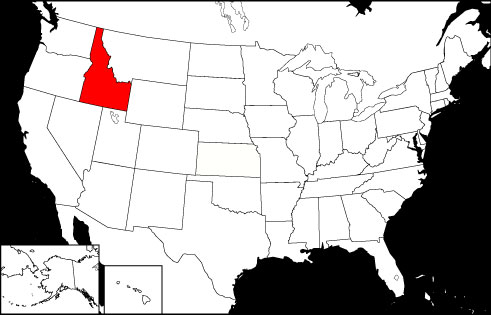 Idaho Locator Map
Copyright © 2012-2026 Word-Cloud.org. All rights reserved.